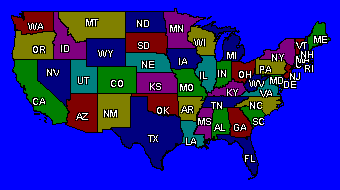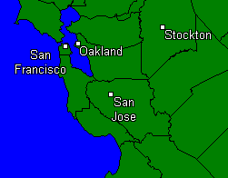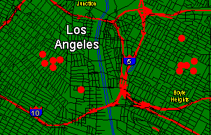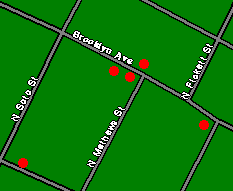


The mapping component of the CrimeStar system provides the ability to view various data on digital maps, simulating the old 'pin map' system used by many law enforcement agencies. These maps provide both wide area and street level detail. Maps can be zoomed to show more or less area depending on the data being shown. Maps can also be printed.
 |
 |
 |
 |
Detailed street level map files are provided FREE on state by state basis.
* All map files are based
on the "Tiger" (Second Edition) data provided and maintained by the US Census.
![]()
Copyright © 1999-2021 Crimestar USA, LLC - All Rights Reserved